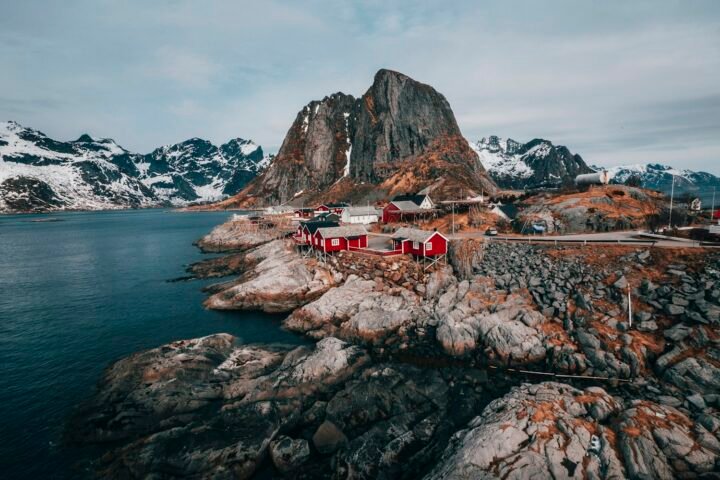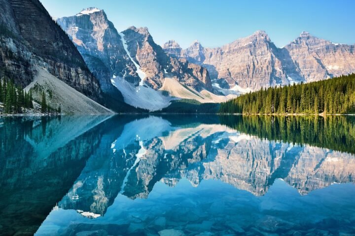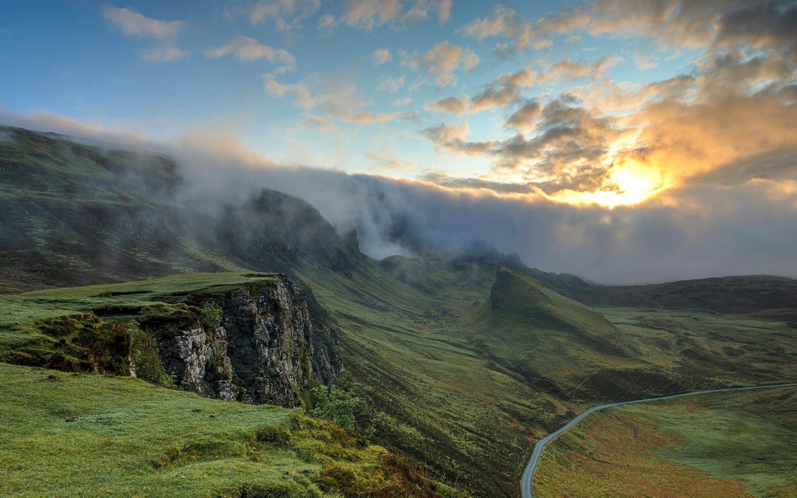
The Milford Road (State Highway 94) stretches 119 kilometers (74 miles) from Te Anau into the heart of Fiordland National Park in New Zealand’s South Island. Crossing the rugged Southern Alps via the historic 1.2-kilometer hand-hewn Homer Tunnel, the highway traverses sheer glacial U-shaped valleys with vertical granite cliffs rising 1,200 meters above dense temperate rainforests.
Trip Briefing & Field Notes
State Highway 94 (Te Anau to Milford Sound)
3 to 5 Days
November to April (Southern Summer)
Wilderness Stargazer Geodesic Suite
There is no road in the Southern Hemisphere that commands more awe than the corridor slicing into Piopiotahi (Milford Sound). As State Highway 94 leaves behind the quiet lakeside pastures of Te Anau, the ancient beech forests thicken, bearded with hanging mosses and lichens that drink in up to eight meters of annual rainfall. Granite walls begin to rise vertically alongside the road, so sheer and colossal that cloud layers become caught in their gulleys, transforming solid rock into living walls of cascading water.
Milford Road was completed in 1953 after two decades of grueling manual labor carving through the solid granite divide of the Darran Mountains. Today, it remains one of the world’s crowning scenic highways, providing overland access to the dramatic fiords preserved under the Te Wahipounamu UNESCO World Heritage Area. For live avalanche warnings, winter tire chain requirements, and road status alerts, monitor Waka Kotahi NZ Transport Agency Highway Status.
Glacial Geomorphology: Eglinton Valley to the Mirror Lakes
The first major geographic sector past Te Anau is the vast, flat-bottomed Eglinton Valley. Carved out by colossal ice sheets during the last glacial maximum, this dramatic valley features golden tussock grasslands framed by near-vertical beech-covered mountains.
At kilometer 56, motorists encounter the Mirror Lakes. Set along small tarns surrounded by native sedges, these calm pools provide perfect reflections of the serrated Earl Mountains on still mornings. Walking the timber boardwalk reveals native freshwater eels and rare whio (blue ducks) that thrive in Fiordland’s hyper-pure mountain streams. To understand Fiordland’s unique endangered species protection and backcountry hut systems, explore the conservation resources published by the New Zealand Department of Conservation (DOC).

The Homer Tunnel: Engineering the Granite Divide
The climax of the overland route occurs at kilometer 101, where the highway reaches the sheer headwall of the Hollyford Valley at 945 meters elevation. Here, motorists approach the eastern portal of the Homer Tunnel.
Bored through 1,270 meters of solid diorite granite, the tunnel is unlined, single-lane, and descends at a steep 1-in-10 gradient toward the Cleddau Valley. Traffic flow is regulated by automated signal lights with up to 15-minute waits. While waiting at the eastern portal, motorists are frequently visited by cheeky kea, the world’s only alpine parrot, known for their curiosity and destructive fondness for vehicle wiper blades and rubber window gaskets.
Field Advisory
Kea Parrot Vehicle Etiquette
Milford Road Waypoint & Elevation Milestones Table
The following logistical profile details key stops, walking tracks, and natural highlights along Highway 94:
| Waypoint Station | Kilometer Post | Elevation | Key Feature & Trailhead Access |
|---|---|---|---|
| Te Anau Town Centre | km 0 | 210 m / 689 ft | Southern gateway; fuel, provisions, DOC visitor center |
| Te Anau Downs | km 29 | 215 m / 705 ft | Start of the world-famous Milford Track boat departure |
| Eglinton Valley Flats | km 50 | 290 m / 951 ft | Wide glacial valley floor, ancient red beech forest margin |
| Mirror Lakes | km 56 | 310 m / 1,017 ft | Boardwalk trail, Earl Mountain reflections |
| Lake Gunn Nature Walk | km 78 | 480 m / 1,575 ft | 45-minute mossy forest loop, native bird song |
| The Chasm | km 110 | 160 m / 525 ft | Deep sculptural rock basins carved by Cleddau River |
| Milford Sound Wharf | km 119 | 0 m / Sea Level | Mitre Peak panorama, scenic fjord cruise terminals |
The Chasm & The Descent into Milford Sound
Exiting the western portal of the Homer Tunnel, the highway drops through a series of steep switchbacks into the Cleddau Valley, where lush temperate rainforest replaces subalpine rock. At kilometer 110, a short forest track leads to The Chasm.
Here, centuries of raging floodwaters laden with gravel have drilled deep, sculpted rock basins, vortex tubes, and smooth water bridges out of solid schist bedrock. The roar of the water echoing through the canyon gorge underscores the titanic hydrological energy of Fiordland.

Fiordland Forest Dome Pods
NZD $380 / night
Overland Transit Essentials & Pacing Advice
To experience the Milford Road at its finest:
- Zero Commercial Gas at Milford Sound: There are no commercial filling stations at Milford Sound. Fill your vehicle completely in Te Anau before departure. The return trip requires at least 240 kilometers of fuel with mountain grades.
- Beat the Tour Bus Rush: The majority of tour coaches from Queenstown enter the Milford Road between 10:30 AM and 2:30 PM. Depart Te Anau before 7:00 AM to enjoy serene, deserted roads and calm morning mirror reflections.
- Embrace the Rain: Do not cancel your journey if rain is forecast. Fiordland is at its most spectacular during heavy downpours, when thousands of temporary waterfalls cascade down the granite walls like silver ribbons.
For comprehensive South Island driving itineraries, certified luxury eco-lodges, and ferry bookings across the Cook Strait, explore the trip planning portals created by Tourism New Zealand Official Guide. Driving the Milford Road is a journey into Earth’s primordial past: an unforgettable symphony of stone, rainforest, and tumbling water.
Continue planning your journey with our companion mountain pass dossiers, geodesic lodging inspections, and packing blueprints:
-
Banff to Jasper Icefields Parkway →
Glacier-lined highway driving through Banff and Jasper national parks. -
Patagonian Geodesic Domes →
Architectural wind-resistant geodesic dome living in Chilean Patagonia. -
Mountain Road Trip Packing Blueprint →
Crucial packing, layering, and offline GPS gear for remote routes.