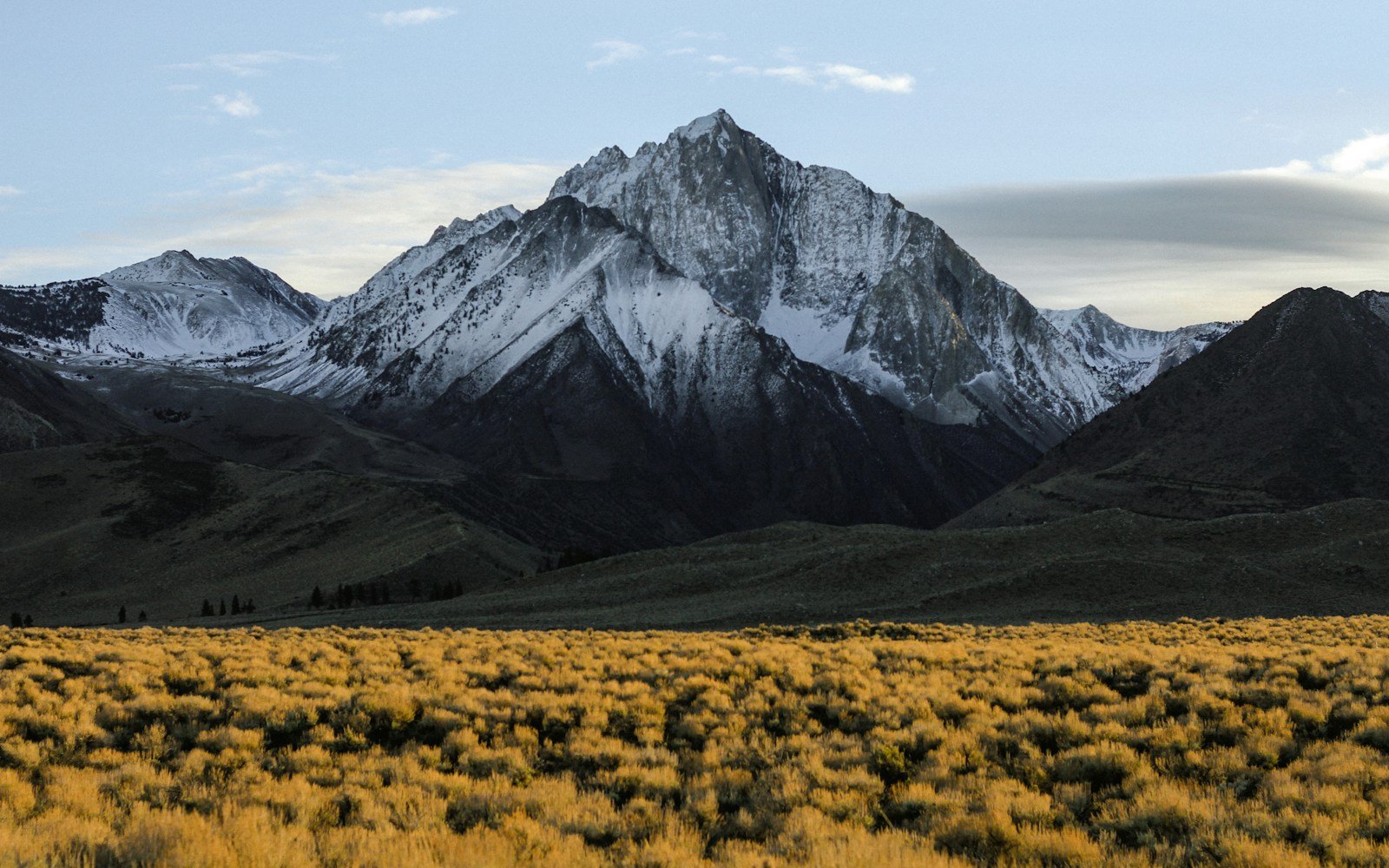
The Trans-Pyrenees mountain traverse (Route des Cols / D918) spans approximately 950 kilometers (590 miles) linking the Atlantic coast at Saint-Jean-de-Luz with the Mediterranean shore at Collioure. Crossing over 30 engineered mountain passes, including Col d’Aubisque (1,709 m), Col du Tourmalet (2,115 m), and Col d’Aspin (1,489 m), this 7 to 9 day overland expedition crosses the rugged natural boundary separating France and Spain.
Trip Briefing & Field Notes
D918 & D117 (Route des Cols Transversale)
3 to 5 Days
Late June to Mid-October (High Cols Open)
Wilderness Stargazer Geodesic Suite
There is a distinct, untamed wildness to the Pyrenees that distinguishes them from the developed tourism corridors of the central Alps. Spanning four hundred kilometers between the Bay of Biscay and the Mediterranean Sea, this colossal mountain wall has stood for millennia as a natural rampart. The Route des Cols, charted in the nineteenth century under Emperor Napoleon III, does not seek the easiest valleys; it climbs relentlessly from col to col, threading deep pastoral valleys, limestone gorges, and high subalpine passes where griffon vultures circle on warm afternoon thermals.
An overland crossing along the Pyrenean crest is an immersion into linguistic, cultural, and ecological transitions. You begin in the misty green oak forests of the Basque Country, ascend through high limestone peaks in Bearn and Bigorre, and descend through arid Catalan garrigue into sun-drenched Mediterranean olive groves. To understand the fragile biodiversity and protected wildlife corridors of the central massif, review the resources published by Parc National des Pyrenees.
The Legend of Col du Tourmalet & The High Cols
The indisputable giant of the Pyrenean road network is the Col du Tourmalet (2,115 meters). First crossed by the Tour de France in 1910, when cycling pioneer Octave Lapize famously screamed “Assassins!” at race officials upon conquering its unpaved gravel switchbacks, the Tourmalet remains a sacred pilgrimage site for world motorists and cyclists alike.
Climbing out of Luz-Saint-Sauveur on the western ramp, the road winds through dense subalpine meadows where semi-feral Pyrenean cows graze with clanging brass bells. The final two kilometers cling to exposed rock scree beneath the summit observatory of the Pic du Midi de Bigorre. Reaching the col reveals a striking bronze memorial to Lapize, with panoramic views tumbling eastward into the Campan valley.

Natural Amphitheaters: The Cirque de Gavarnie
South of the Tourmalet corridor lies one of Europe’s most monumental geological wonders: the Cirque de Gavarnie. Described by Victor Hugo as a “colosseum of nature”, Gavarnie is an immense limestone amphitheater with a perimeter of six kilometers, rising in three colossal tiers to vertical heights exceeding 1,500 meters.
At its center, the Grande Cascade plunges 422 meters in a single sheer drop, making it the highest waterfall in mainland France. Motorists can park in the village of Gavarnie and hike an easy two-hour riverside trail into the heart of the cirque, where cool mist and thunderous reverberations remind travellers of nature’s boundless scale. For regional maps, village accommodations, and cultural festivals across the southwest valleys, visit Explore France Official Tourism Authority.
Field Advisory
Midday Livestock Right-of-Way in High Cols
Trans-Pyrenees Waypoint & Mountain Pass Dossier Table
The complete west-to-east traverse divides into five distinctive logistical stages:
| Route Stage | Distance | Key Passes & Landmarks | Terrain Character |
|---|---|---|---|
| Stage 1: Basque Coast to Oloron | 175 km / 109 mi | Saint-Jean-Pied-de-Port, Col d’Osquich | Rolling green pastoral hills, ancient pilgrimage routes |
| Stage 2: High Bearn to Bigorre | 140 km / 87 mi | Col d’Aubisque, Col du Soulor, Cirque du Litor | Narrow cliff-edge roads, sheer rock amphitheaters |
| Stage 3: The Tourmalet Core | 125 km / 78 mi | Col du Tourmalet, Col d’Aspin, Col de Peyresourde | High-altitude alpine cols, granite scree, ski stations |
| Stage 4: Ariege Cathar Country | 210 km / 130 mi | Col de Port, Montsegur fortress, Foix castle | Dense beech forests, medieval ruins, limestone gorges |
| Stage 5: Roussillon to Mediterranean | 160 km / 99 mi | Canigou massif, Col de Jau, Collioure port | Arid Mediterranean scrub, terraced vineyards, sea port |
Border Crossings: Exploring the Spanish Southern Slope
While the Route des Cols remains predominantly on the northern French flank, dipping southward into Spain via Col du Pourtalet or the Bielsa-Aragnouet tunnel reveals a dramatic climatological contrast. The southern Spanish slope (Aragon and Catalonia) is significantly sunnier and more arid, featuring deep red-rock sandstone canyons in the Ordesa y Monte Perdido National Park.
For cross-border driving regulations, national park permits in Aragon, and regional heritage sites across northern Spain, review the official travel resources from Turespana Spain Official Tourism Portal.

Gavarnie Cirque Stargazer Pods
€220 / night
Overland Transit Preparation & Weather Windows
To complete the traverse safely:
- Pass Clearance Timing: The highest passes (Tourmalet, Aubisque) typically open in late May or early June and close with the first severe autumn snowfall in late October. Mid-September provides ideal conditions: uncrowded roads, golden beech foliage, and crisp mountain visibility.
- Brake Management on Steep Ramps: Gradients on Col d’Aubisque and Tourmalet consistently exceed 10 to 12 percent. Shift into lower gears on descents to prevent severe brake overheating.
- Mountain Fuel Stops: While valley towns like Bagneres-de-Bigorre, Saint-Girons, and Prades have 24-hour automated fuel pumps, mountain cols do not. Plan fuel stops in advance.
Completing the Trans-Pyrenees traverse from the wild surf of the Atlantic to the calm anchorages of the Mediterranean is a profound overland achievement: a journey across jagged stone, rich pastoral heritage, and the quiet freedom of high mountain skies.
Continue planning your journey with our companion mountain pass dossiers, geodesic lodging inspections, and packing blueprints:
-
Dolomites Great Alpine Road →
Engineering, passes, and historic lookouts along the Great Dolomites Road. -
Scotland’s North Coast 500 →
Single-track roads, passing places, and coastal castle ruins in the Highlands. -
Mountain Road Trip Packing Blueprint →
Essential checklist for vehicle readiness and high-altitude mountain travel.